


Ag Tech Talk Podcast: How AI and Geospatial Tech Are Transforming Carbon Measurement and Supply Chains

In a rapidly evolving agricultural landscape, technology is driving efficiency and sustainability. AgTech Talk by AgriBusiness Global sat down with Ofer Judovits, Co-founder and CEO of Marvin, to discuss how geospatial and satellite data with artificial intelligence (AI) is revolutionizing the ag industry.
* This is an edited and partial transcript of this podcast.
ABG: Could you elaborate on how geospatial and satellite data with AI is transforming carbon measurement, crop inputs, and supply chain optimization?
MORE BY LAUREN MILLIGAN
Balancing Purpose and Profit: Granite Creek’s Jim Clark on ESG, AgTech, and the Future of Agribusiness Investment
Ag Tech Talk Podcast: Tria Americas’ Jim Beneke Discusses Adaptive Artificial Intelligence in Formulation
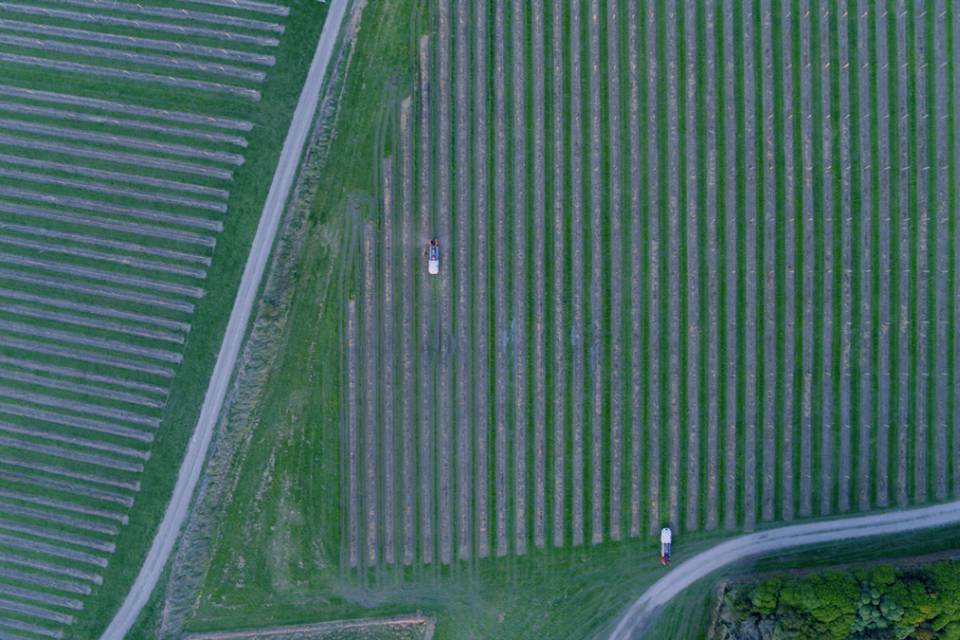
Ag Tech Talk Podcast: Adoption Trends for Precision Ag, Farm Management Platforms, and Drones
Ofer Judovitz: Two major technological revolutions are unfolding in parallel. The first is the rapid evolution of space technology, fueled by advancements in sensor miniaturization and deployment. SpaceX’s high-frequency rocket launches have drastically lowered the cost of launching microwave-sized sensors, making high-resolution, real-time Earth observation data more accessible than ever. This shift is democratizing spaceborne analytics, unlocking new applications across climate monitoring, precision agriculture, supply chain intelligence, and risk assessment—industries previously constrained by cost and data scarcity.
Satellite technology has evolved beyond traditional imagery. High-resolution thermal sensors now enable precise measurement of land surface temperatures, providing critical insights for agriculture, forestry, and climate monitoring. LiDAR technology is particularly valuable in cloud-heavy regions like Latin America, as it penetrates cloud cover to generate highly accurate, time-series elevation and biomass data, essential for deforestation tracking and land-use planning. Additionally, ground-penetrating radar (GPR) enhances our ability to analyze subsurface soil characteristics, offering key data for carbon sequestration, irrigation management, and infrastructure resilience. These advancements significantly enhance geospatial intelligence and decision-making across industries.
AI adoption is accelerating, with computer vision and deep learning becoming mainstream. When combined with advanced sensors and diverse data sources, AI can unlock powerful insights—but raw data alone has limited value. Business logic and contextual intelligence are essential to translate data into actionable strategies.
This is where platforms play a critical role. They transform raw data into real-world solutions, enabling everything from yield forecasting and risk assessment to vendor screening and compliance monitoring. By integrating AI-driven analytics with supply chain dynamics, these platforms can predict market fluctuations, optimize resource allocation, and enhance regulatory adherence. For large enterprises, this means proactive, data-driven decision-making at scale, turning AI into a true competitive advantage.
Subscribe Today For
