


EOS AgriSat First Satellite Launch By Dragonfly Aerospace
EOS Data Analytics, a global provider of AI-powered satellite imagery analytics, has entered into an agreement with Dragonfly Aerospace that is to deliver the first out of seven optical satellites within the EOS AgriSat constellation EOS Data Analytics plans to launch into Low Earth Orbit by 2025.
The first satellite by Dragonfly Aerospace is planned for launch in 2022. According to the previous agreement between EOS Data Analytics (EOSDA) and Dragonfly Aerospace, the two DragonEye electro-optical imagers will be mounted on a 100kg class µDragonfly satellite platform.
EOSDA will become the first company out of those currently working with remote sensing technologies that launches its satellite constellation specifically focused on the agricultural sector. Implementing the EOS AgriSat project enables the company to receive high-quality imagery that will considerably increase the reliability and veracity of the information provided to customers within EOSDA’s products and services. In addition, by launching its satellite constellation, the company will have a complete vertical integration from imagery acquisition, raw data processing, and analysis to the generation of valuable insights for end-users.
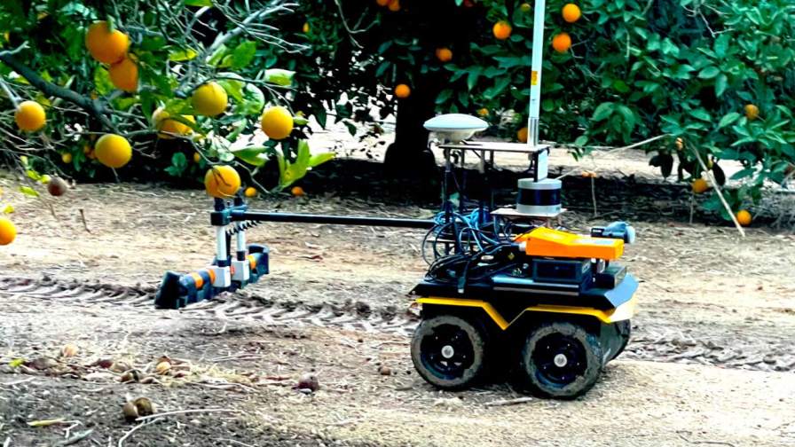
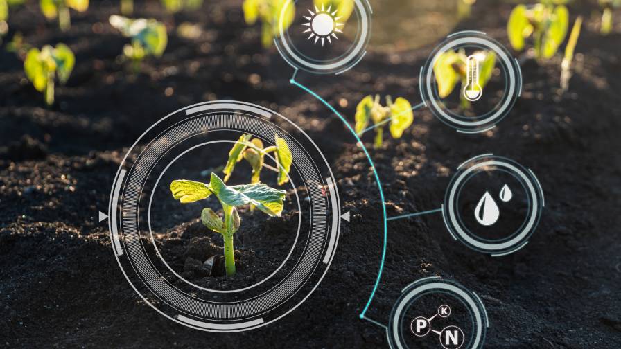
Satellite images may be used for various purposes addressing the everyday needs of both large agro companies and smallholding farmers. The range of cases satellite monitoring can be used for includes but is not limited to crop prediction, vegetation state control, weed and pest management, weather forecast, and many more. Besides, remote sensing contributes to climate change prevention and satisfaction of global food demand by supporting precision agriculture, which enables farmers to make weighed, data-driven decisions.
MORE BY GLOBAL AG TECH INITIATIVE
EOSDA selected the µDragonfly satellite platform as it corresponds to the imaging requirements critical for precision farming. The satellite will provide a wide swath and large coverage of the farmlands areas that are especially useful for big agro holdings. The massive volumes of data can be captured thanks to high data rate transmitters and µDragonfly bus’s power system, which is capable of maintaining substantial imaging and downlinking.


The µDragonfly satellite will capture images with the help of dual high-resolution DragonEye image sensors. They will embrace up to 40 km swath width in 11 bands channels at close to 1,5 – 2,8 m resolution. The satellite’s service period is five years, and all the main components are fully redundant.
Subscribe Today For
