


How to Avoid the Top 10 Most Common Mistakes in Agricultural Drone Surveying

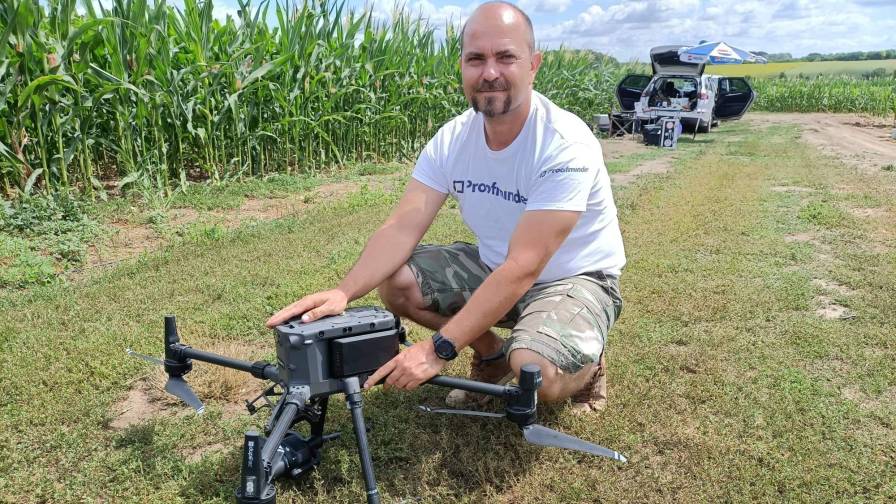
Whether you’re a seasoned agronomist or a novice drone operator, understanding and avoiding the most common mistakes is crucial for maximizing the value of drone technology. Photo: Proofminder
Drone technology has transformed the agricultural landscape, offering unparalleled efficiency and precision in crop monitoring and management. However, as with any innovative tool, there are common pitfalls that can undermine the success of drone surveys in agriculture. In this article, we delve into the top 10 mistakes frequently encountered in drone surveys for agriculture, offering insights and strategies to navigate these challenges effectively. Whether you’re a seasoned agronomist or a novice drone operator, understanding and avoiding these pitfalls is crucial for maximizing the value of drone technology in agricultural applications.
- Incorrect exposure settings due to inadequate assessment of weather conditions often result in over- or underexposure. Overexposure poses a greater challenge than underexposure, so when uncertain, opting for sunny conditions is generally safer than cloudy ones.
- Optimal weather conditions are rare, with shadows and weather fluctuations posing challenges. Windy or unstable weather conditions can lead to blurry images, while sudden battery drainage in cold temperatures (below approximately 10° Celsius) requires time for the drone to acclimate. Battery heaters and proper storage are recommended to mitigate these issues. Additionally, planning for alternative mission days can help navigate unpredictable weather patterns.
- Insufficient memory card capacity is a common oversight. Ensuring the availability of at least a 64 GB card for every 40-50 hectares of terrain, along with the use of fast SD cards, is essential to minimizing copy time during data transfer.
- Inadequate front/side overlaps during a flight can hinder the stitching of images, affecting the creation of orthomosaics. A minimum overlap of 75% is typically recommended for optimal results.
- Surveying after rainfall may require recalibration due to reduced visibility of vegetation on wet soil.
- Flying at excessive speeds can result in blurry images. Maintaining an optimal flight speed — depending on the type of drone and the nature of the mission — helps ensure clear images while conserving battery life.
- Proper logistics and setup are crucial. This includes ensuring access to the field, having backup equipment, and preparing for unforeseen circumstances like equipment failure or adverse weather conditions. Smaller, well-planned missions help mitigate time pressure and potential errors.
- Insufficient batteries and chargers can disrupt the drone survey. Calculating the drone’s battery demand, flying smaller sections for faster turnaround times, and implementing backup charging solutions are essential for seamless missions.
- Inadequate flight planning preparations, such as not accounting for field topography and failure to set up optimal home points, can lead to errors during missions. Flexibility in adapting route plans on-site and testing adjustments are vital for successful outcomes.
- Prior to a flight, thorough airspace checks and adherence to visibility guidelines are necessary. Always make sure to meet your local requirements to ensure the safety of your mission and others.
Additional considerations when drone surveying include:
- Adjust battery safety settings for maximum efficiency and monitor hardware temperature to prevent overheating.
- Maintain a printed logbook for organized record-keeping during missions.
- Implement two-way radios for effective communication in team settings.
- Download photos after each route has been completed to prevent data loss and the need for re-fly whole sections in case of an issue.
- Perform regular maintenance checks to ensure equipment functionality. This is especially important in case of agricultural surveys.
- Keep track of completed tasks and drone performance for analysis and improvement in future surveys.
- Verify field coordinates for accurate mission planning.
The material was prepared by Proofminder and based on thousands of hectares scouted by its Global Network of Drone Service Providers.
MORE BY KSENIA KOROLKOVA
How AI Is Taking Green-on-Green Spray Technology to New Levels of Productivity and Sustainability


Subscribe Today For
