


Farming From Space: How Sentinel Fertigation Is Using Satellite Imagery for Sustainable Crop Production
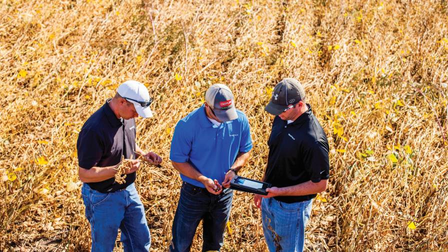
With help from Airbus’ detailed high-resolution 30cm satellite imagery provided by Pléiades Neo, a Midwest crop management software platform is offering a streamlined process for farmers fertilizing crops via irrigation (known as fertigation), according to xyHt. Using multispectral imagery of field conditions, Lincoln, Nebraska-based Sentinel Fertigation is helping farmers to sustainably monitor crops and fields through remote viewing.
While fertilizer prices have skyrocketed over the past two years, this combination of the two technologies has allowed farmers to increase their bottom line by enabling targeted fertigation that minimizes excessive water and fertilizer use and maintains or increases crop yields. Additionally, the system allows growers and agronomists to make fewer trips to their fields for crop inspections, reducing in-field manhours.
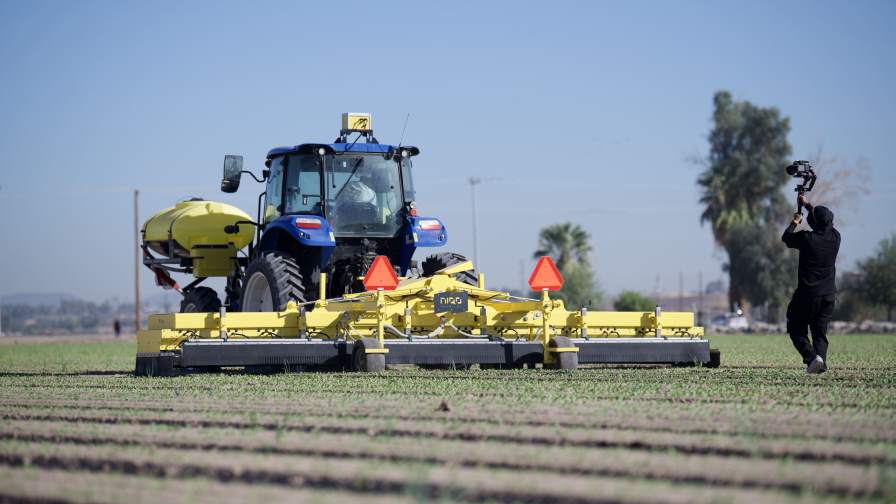
Begun in May, the collaboration between the companies resulted from the small software firm contacting Airbus for help in providing timely, high-resolution imagery to help its clients more effectively manage their crops. Previously, Sentinel Fertigation had extensively used tough-to-schedule drone teams to collect imagery for crop management.
This new collaboration could be less expensive in the long run and promises to continue to offer better results for its farmer clients, Sentinel Fertigation officials said. Unlike using drones for these tasks, remote viewing through the company’s platform allows farmers to make fewer trips to fields to inspect crops.
Subscribe Today For
